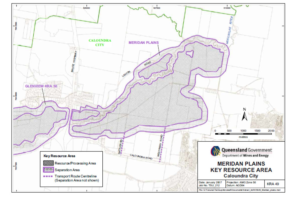
MERIDAN PLAINS SAND EXTRACTION AREA
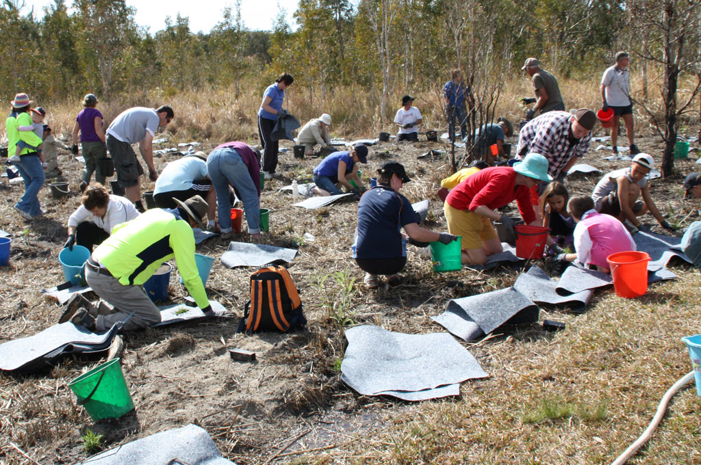
Because the Extractive Resource Area (KRA49) falls within the Currimundi catchment, we have a particular interest in the impact this development may have on the integrity of the natural environment, the progressive rehabilitation of the area throughout the life cycle of the development and the health of the future ecological systems resulting from the development.
This enormous area, estimated to be almost 1,100 hectares in size with more than 700 hectares marked for potential sand extraction, is larger than Ewen Maddock and Baroon Pocket dams combined. Operations could begin as early as 2011 and continue for up to 80 years.
With the removal of the sand, there will be 13 large excavated pits up to 15 metres deep. The site lies on a large floodplain that, during floods, has directed surface water to the Mooloolah River or into the finger tributaries that lead into Currimundi Creek South Arm. The subterranean water table lies close to the surface.
CCCG’s has questioned whether there is conclusive evidence (a) that sand extraction at Meridan Plains will not cause any detrimental impact on ground and surface water and not pose an unacceptable risk to the ecosystems of the nearby Mooloolah and Currimundi waterways; (b) that heavy rainfall and flooding in the Mooloolah catchment and Currimundi sub-catchment will not flood sand extraction operations and contaminate the Mooloolah and Currimundi waterways and cause additional local flood risk, and (c) that there will not be a detrimental impact on the recreational values and lifestyle that residents and tourists prize in the Mooloolah and Currimundi waterways.